This fire in the Mt Kaputar National Park near Narrabri was officially called the Paleroo Creek fire and reached Section 44 status (declared an emergency and entitled to utilise state resources for the fire fighting effort). It was started near Mt Lindsay by a lightning strike on the evening of Monday November 13th 2006, two weeks before the first Pilliga fires started. The fire was officially declared as contained by the RFS on the 23rd of December(??), following decent rain.
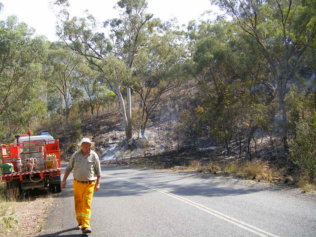
The response to the fire by the RFS and NPWS included extensive aerial water bombing using both helicopters and fixed wing aircraft. The national park was closed until mid-January due to the fire and the Bingara Rd was closed at Killarney Gap for a few days to allow back burning. The fire burned out almost 15,000 Ha of forest.
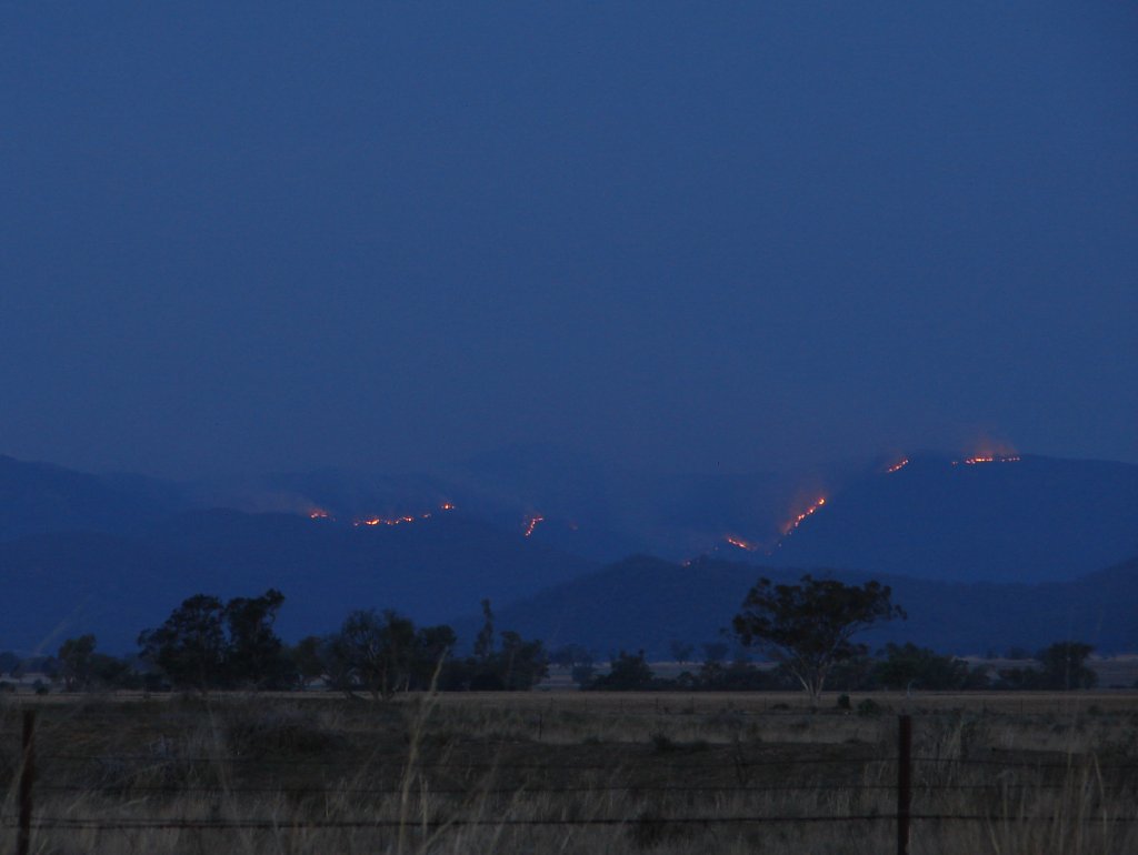 |
Extensive front burning in the national park on the 19th November. By Chris Allen. | 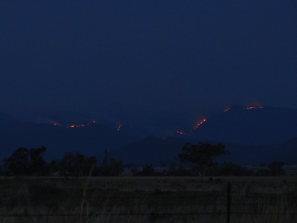 | Night time shot of the flames on the 19th November. By Chris Allen. |
 | Wide angle view of the fire on the 19th November. By Chris Allen. | 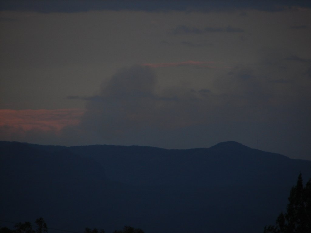 | Fire burning up towards the Mt Dowe transmitter site on the 28th November. By Chris Allen. |
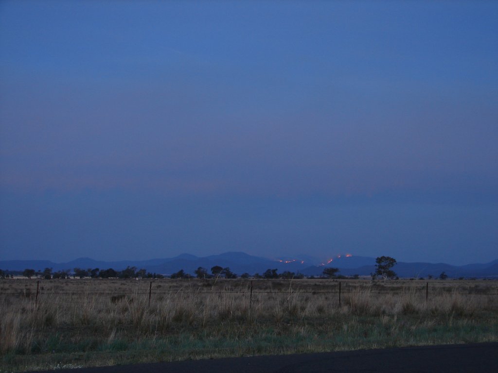
 | An RFS back burning operation near Killarney Gap (Bingara Rd). Photo by Tricia Hadley. | 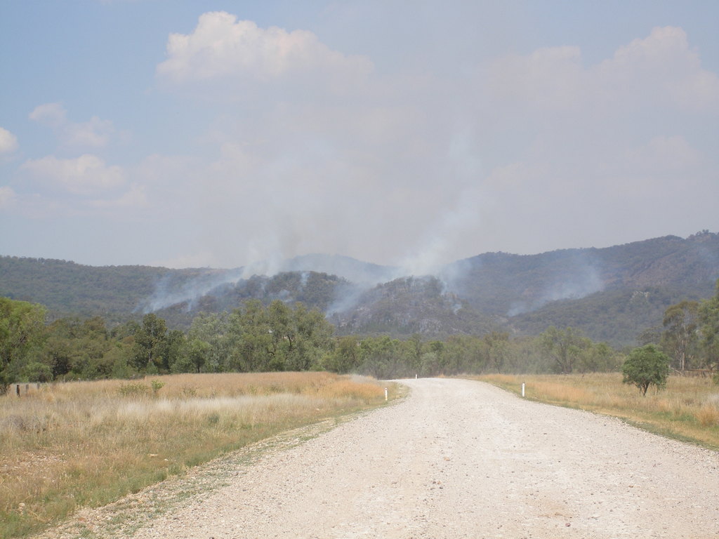 | An outbreak burning at Sawn Rocks, first reported by the RFS on December 10. Photo by Tricia Hadley. |
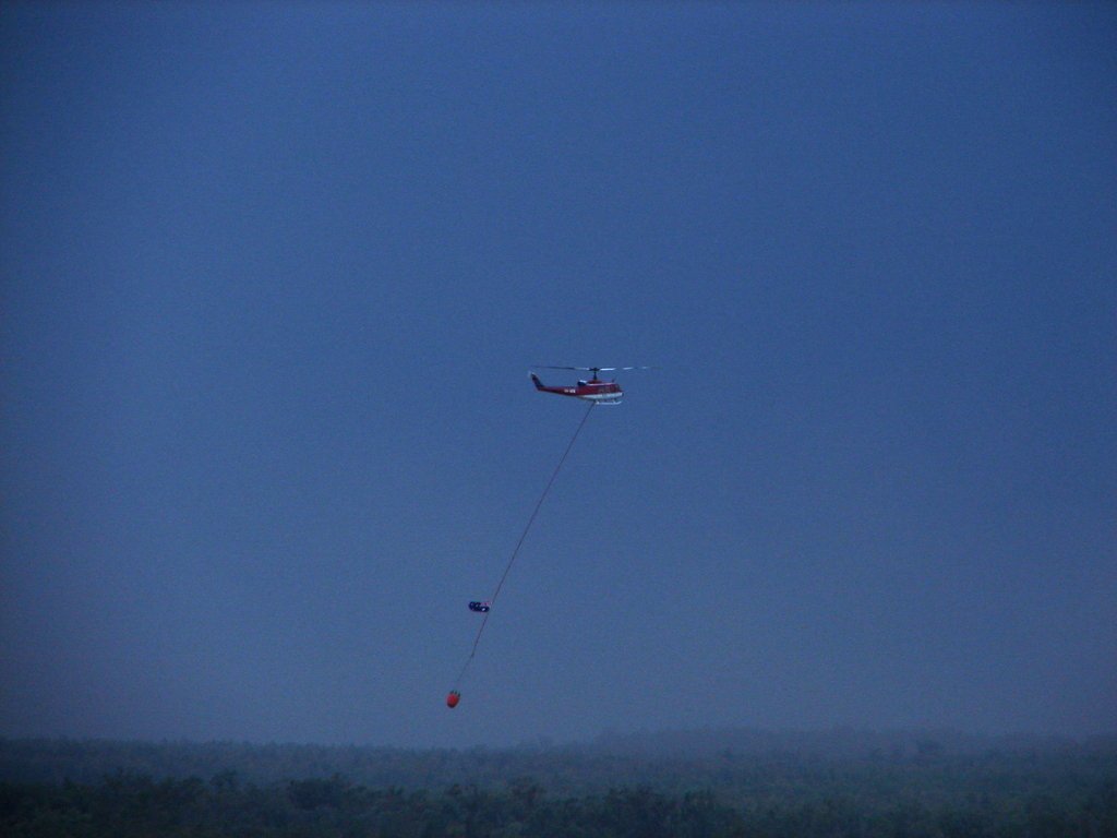 | Water-bombing helicopter approaching Narrabri Airport just prior to a storm on the 12th of December. At 6pm the Airport copped an 83km/h wind gust and our Kaputar Rd weather station, 7km away, recorded 93km/h. Photo by Chris Allen. | 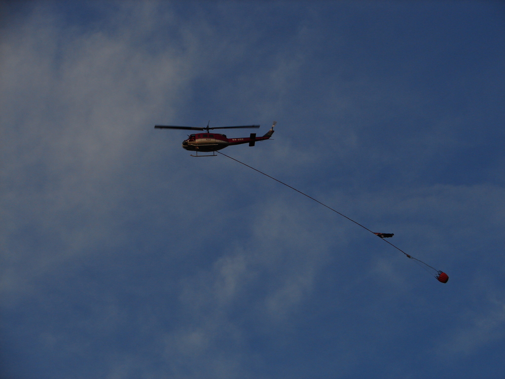 | Water-bombing helicopter crossing Kaputar Rd on the 14th of December. Photo by Chris Allen. |
 | A flare up near 'The Crater'. Photo by Norman Webster. | 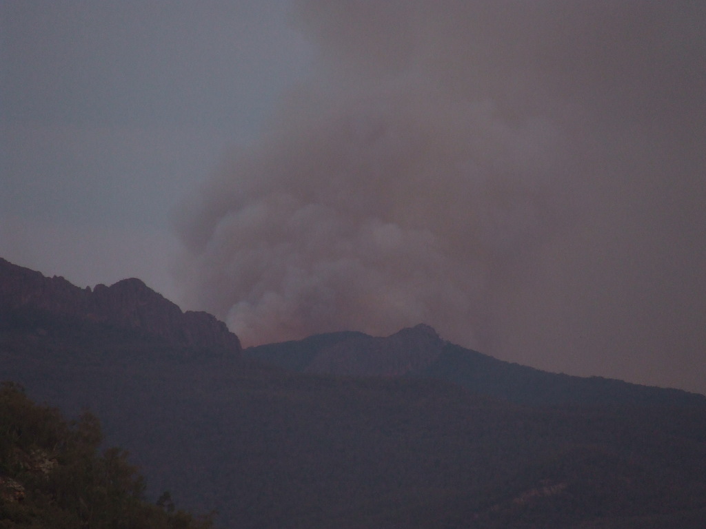 | A flare up near 'The Crater'. It looks like the Nandewar Volcano has stirred back to life in this image! Photo by Norman Webster. |